Yükleniyor...
In addition to determining the earthquake, landslide, rockfall, flood and similar problems of Istanbul and determining the solution methods, the geological map preparation that will form the basis of the zoning plans was started in June 1994. This study, which was carried out in stages (regions), was completed in December 2011.
The geological maps prepared in digital environment and consisting of 1088 1/5,000 scale sheets in an area of approximately 5366 km2 within the Istanbul Provincial borders determined by Law No. 5216 and excluding lakes, cover the Istanbul Provincial borders.
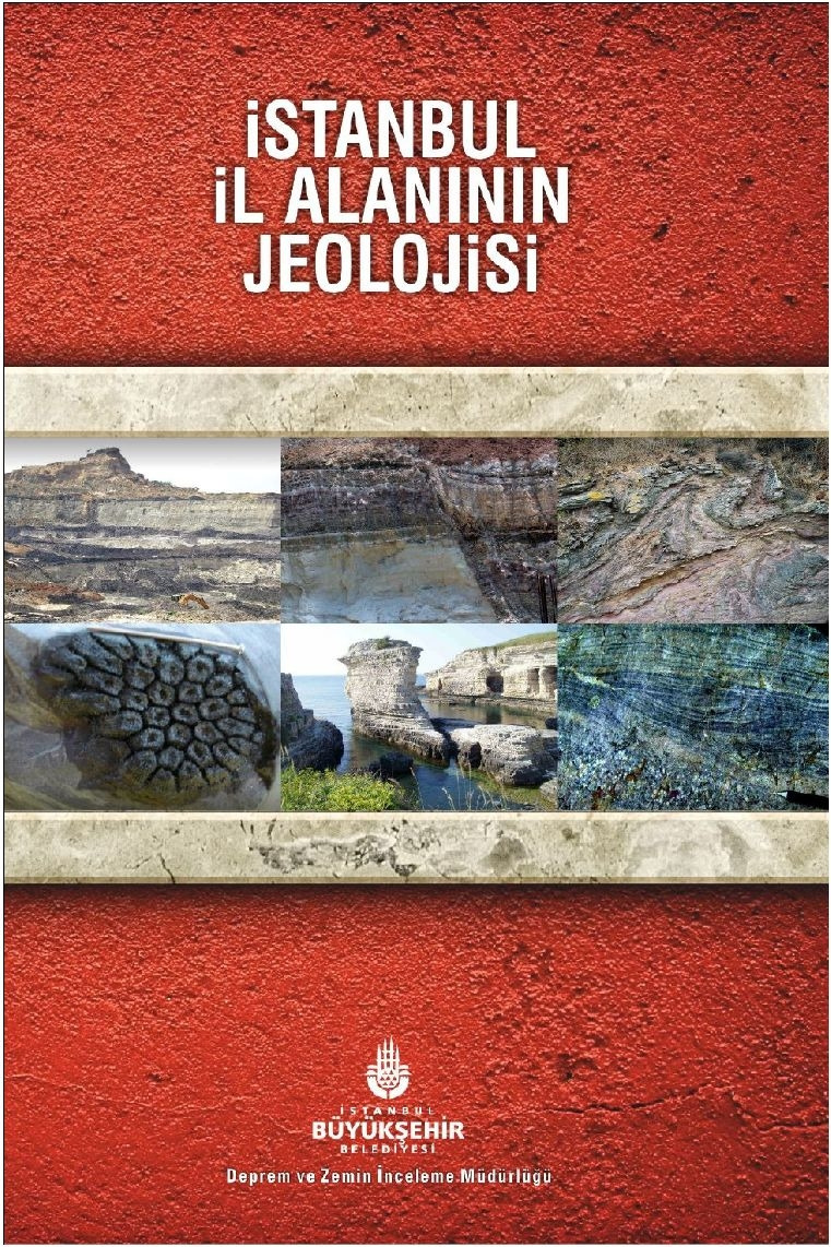
Below, the executive summary of the report titled “Geology of Istanbul Provincial Area”, which describes the general geological characteristics of Istanbul, the entire report and the 1/100,000 scale geological map created by simplifying the 1/5,000 and 1/2,000 scale geological maps produced within the scope of Istanbul Urban Geology and Microzonation Projects are presented.