Yükleniyor...
Preparation of Microzonation Reports and Maps for the Southern European Side
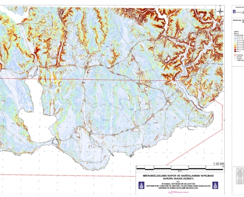
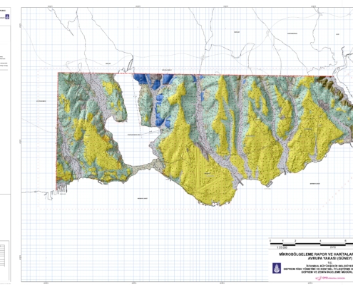
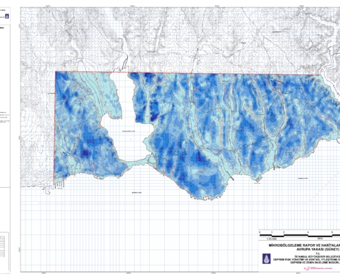
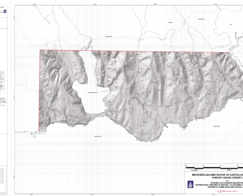
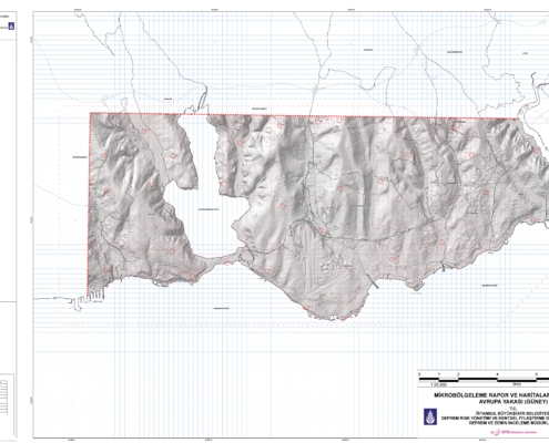
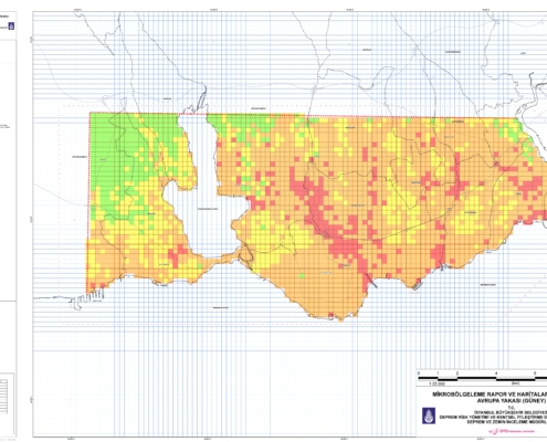
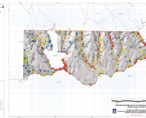
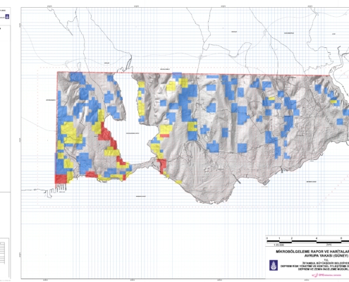
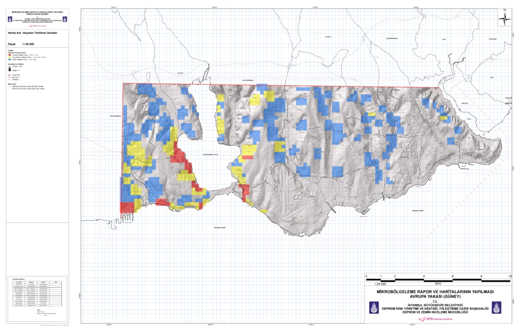
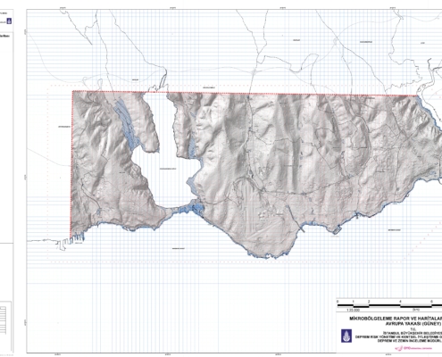
This study was completed by the end of 2007. To see the maps and analyses produced within the scope of the project, please click on the relevant map. The following maps were produced for the Southern Section of the European Side of Istanbul in an area of 182 km2.
Within the scope of this project;
The project was completed in 2007.
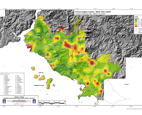
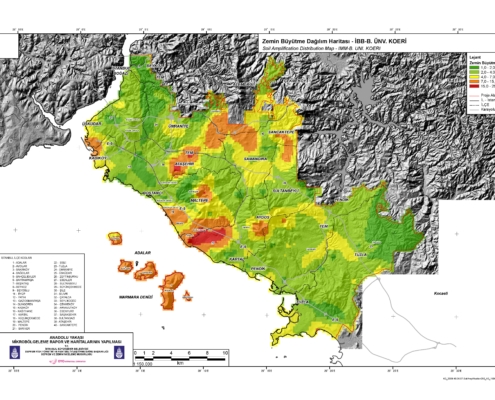
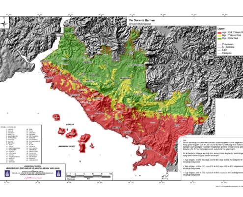
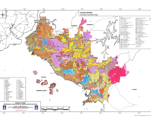
Preparation of Microzonation Reports and Maps for the Anatolian Side
The production of Microzonation Reports and Maps covering the Anatolian side of Istanbul in an area of 509 km2 began in 2007. In this context, for all of Istanbul;
The work of producing a 3D elevation (slope) map for the determination of some ground risks with variable scales between 1/1,000 - 1/5,000 and the work of "UPDATING THE POSSIBLE EARTHQUAKE LOSS ESTIMATES OF ISTANBUL" was also carried out within the provincial borders of Istanbul determined by Law No. 5216 and completed by the end of 2009.