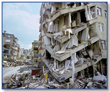
In the light of the experiences gained from the 1999 Gölcük (M=7.4) and Düzce (M=7.2) devastating earthquakes, it has become an important need to reveal the earthquake hazards and risks of megacities that are at risk of destructive earthquakes. In this context, the earthquake hazard and risks of Istanbul, which is expecting a devastating earthquake at any moment; using current scientific analysis methods on this subject, using data sets such as existing superstructure and infrastructure inventory information, and using the results especially in the integrated disaster management process, using them in urban planning studies, making prioritizations for structural improvement and urban transformation against earthquakes are extremely important for an earthquake resistant Istanbul.
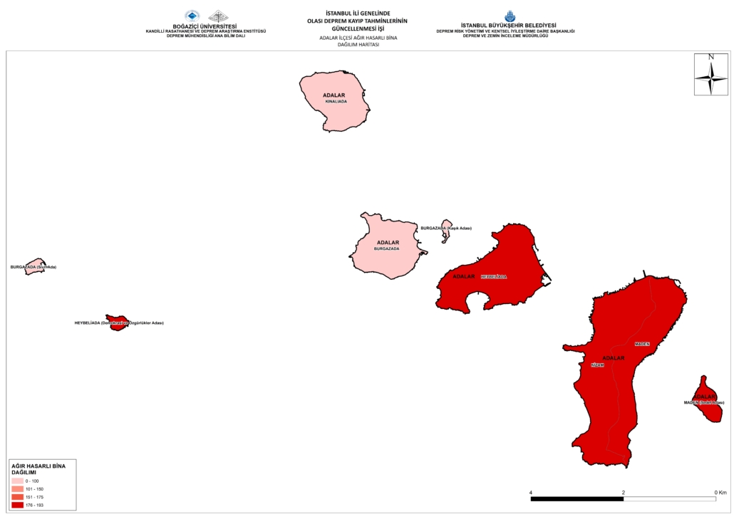
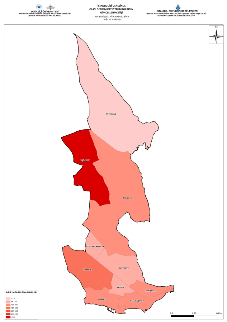
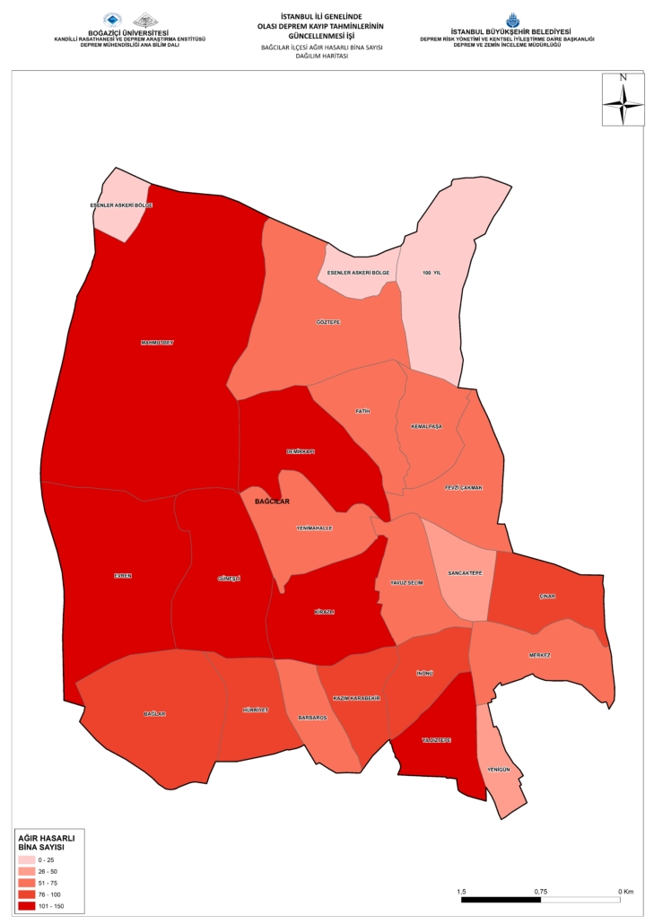
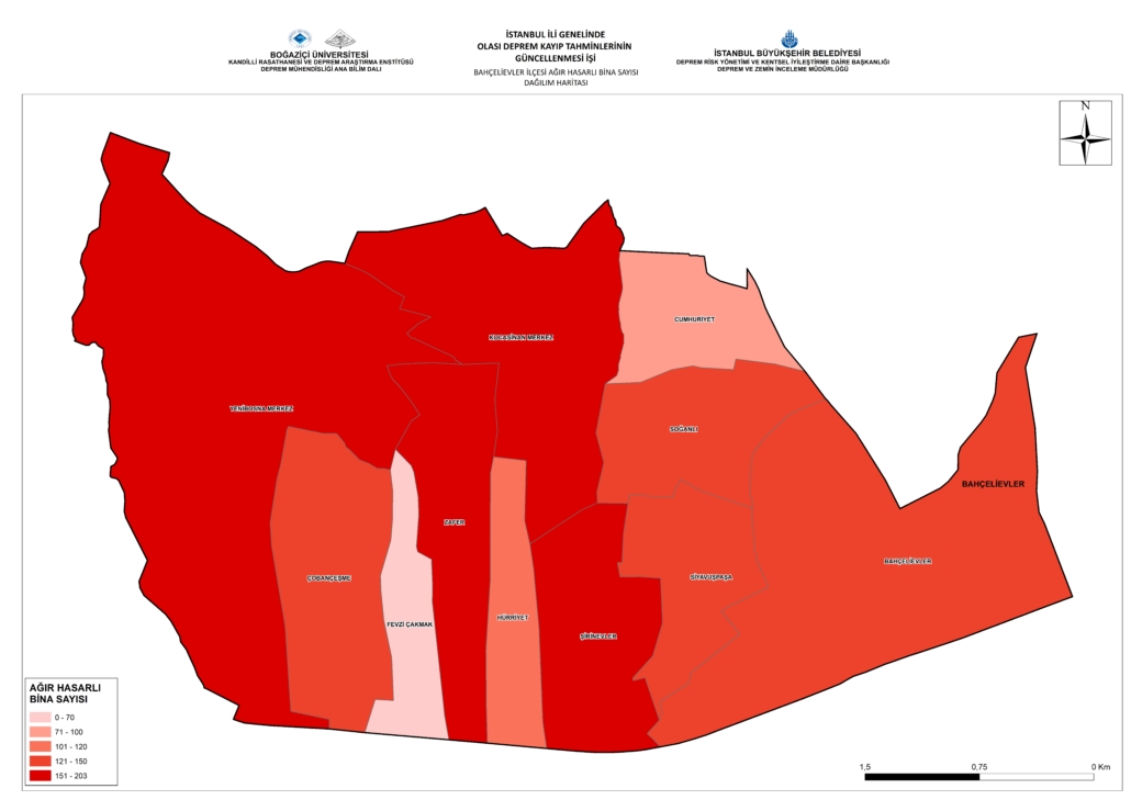
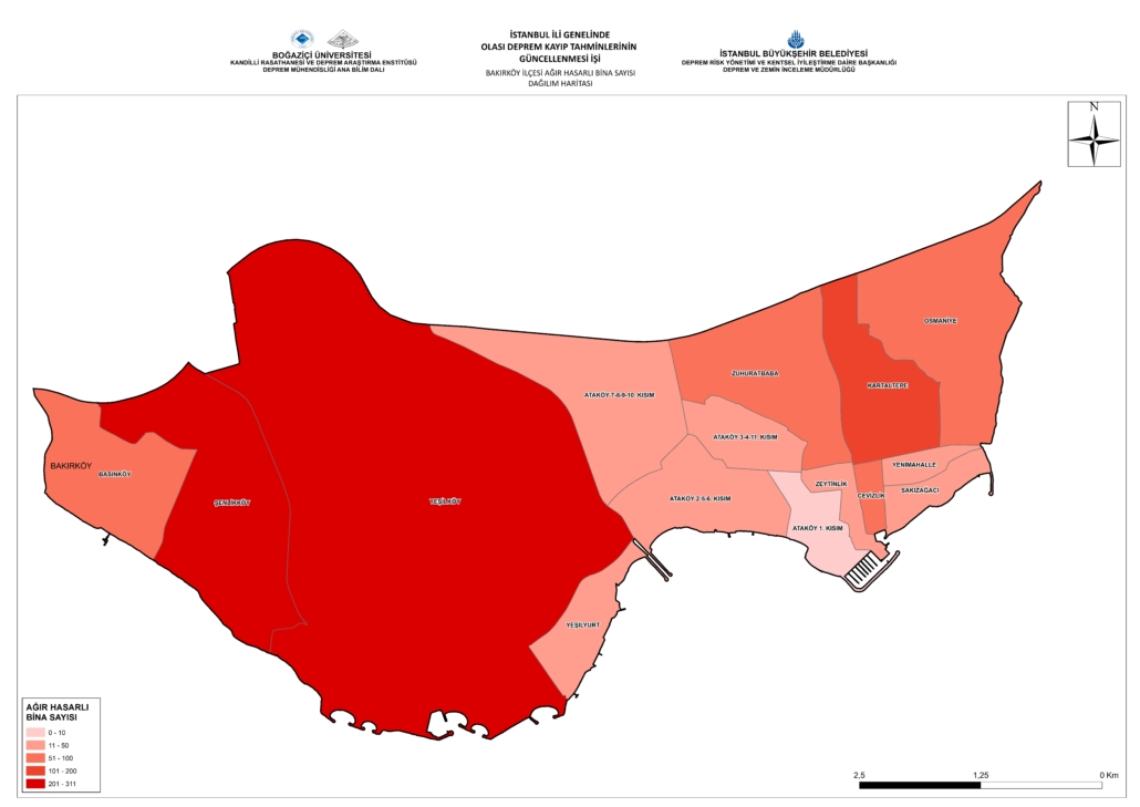
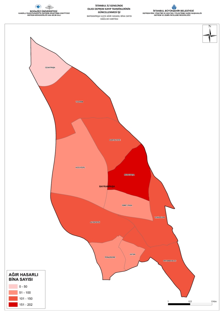
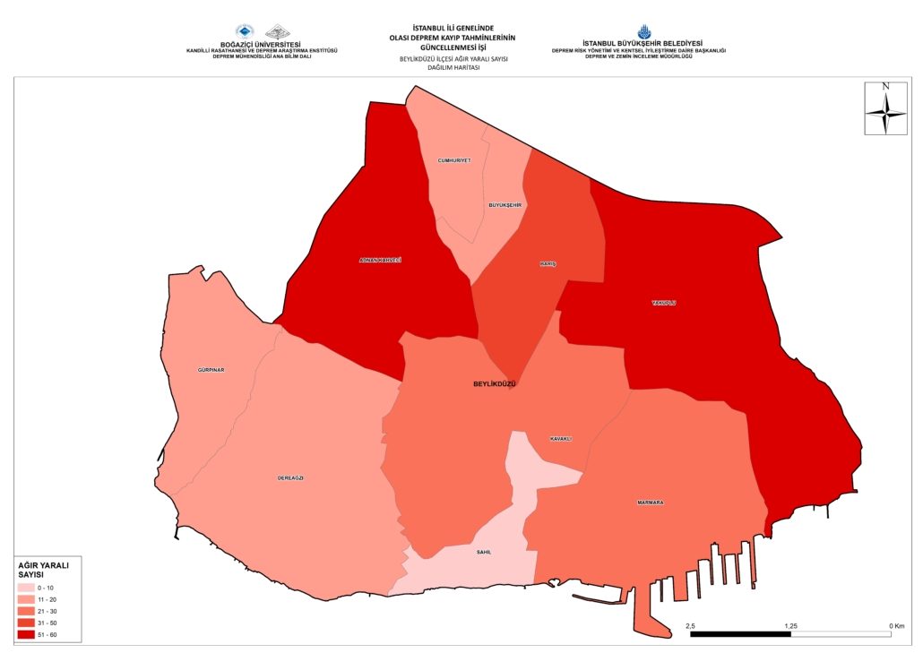
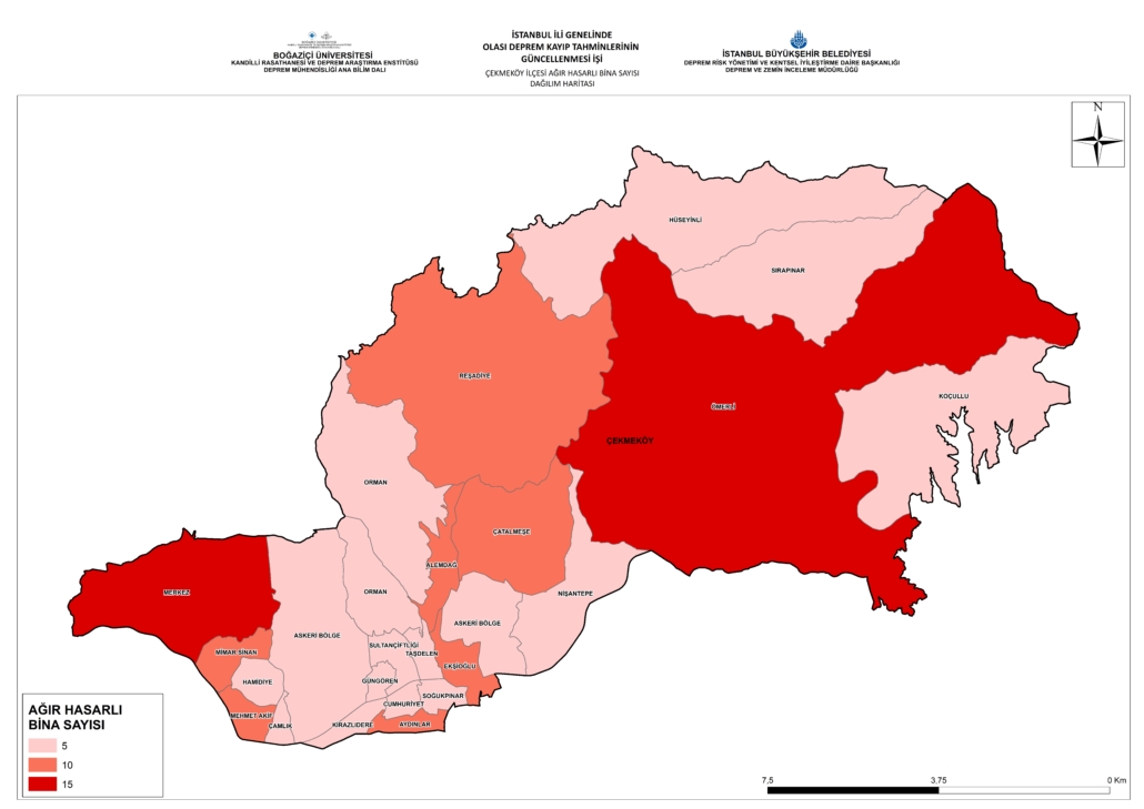
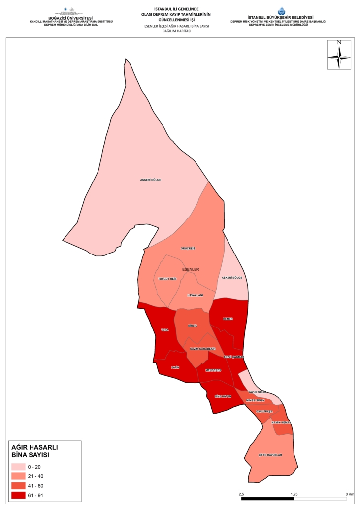
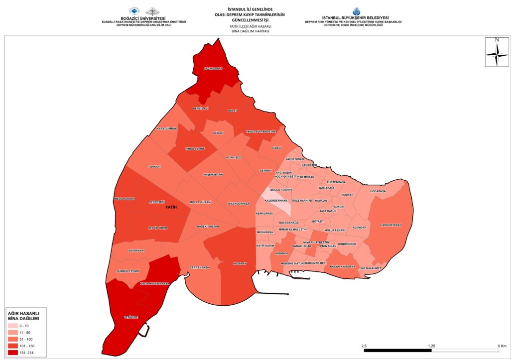
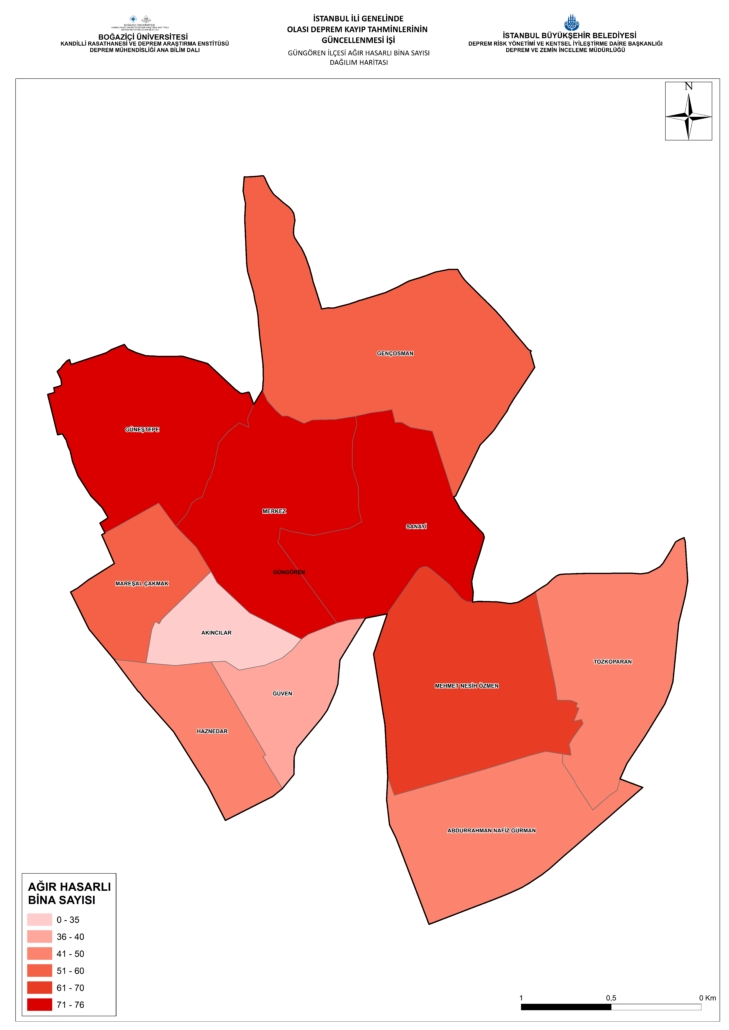
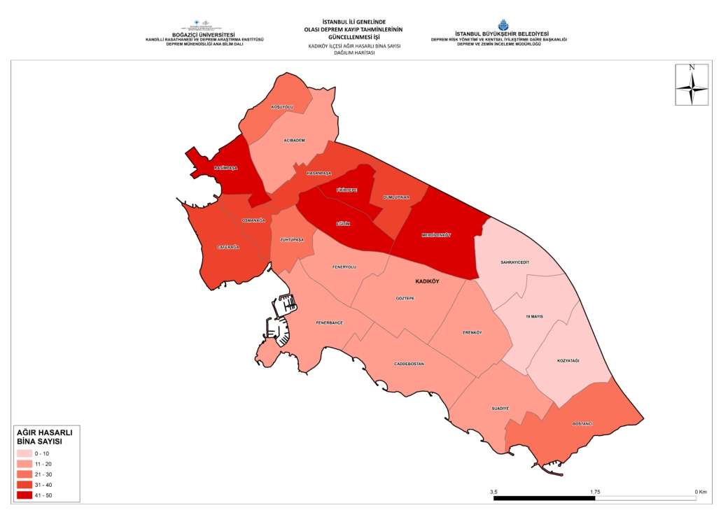
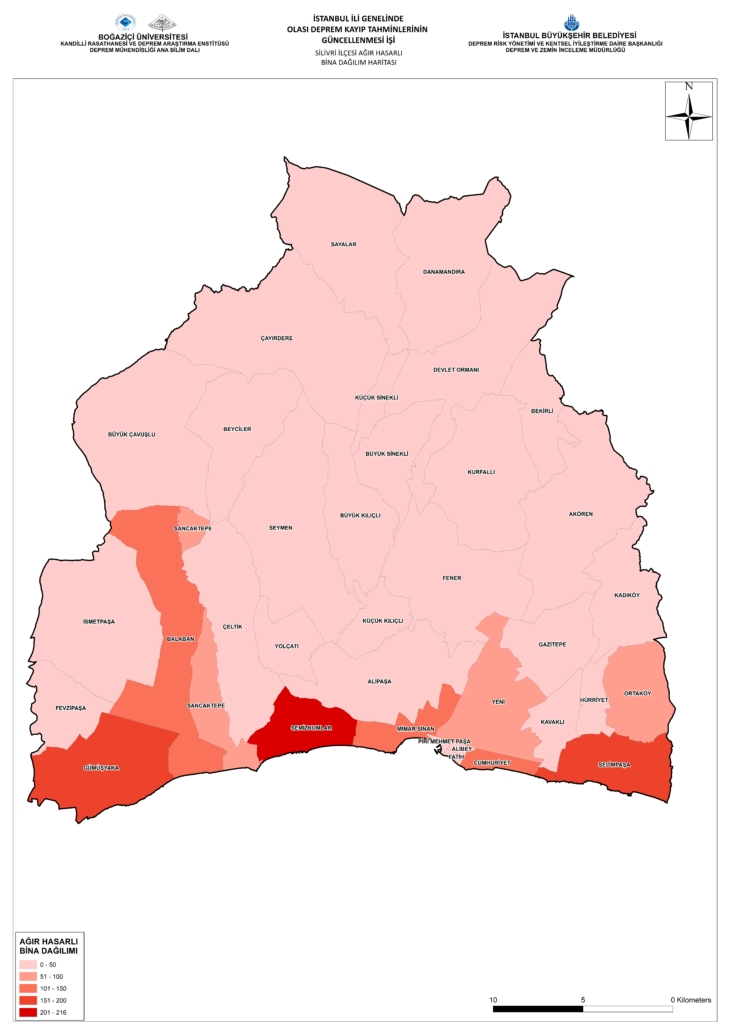
In this sense, “UPDATE OF POSSIBLE EARTHQUAKE LOSS ESTIMATES IN ISTANBUL PROVINCE PROJECT (2019)” outputs were customized by IMM Directorate of Earthquake and Soil Investigation, and “District Probable Earthquake Loss Estimation Booklets” were produced for 39 districts of Istanbul by making analyzes and mappings that are specific to districts.
In this context, district-specific analyzes and mappings were made in order to produce earthquake hazard analyzes of 39 districts in Istanbul and earthquake risk analyzes of urban superstructure and infrastructure elements.
The earthquake loss estimation report specific to our 39 districts can be accessed from the links below.
The Tsunami Action Plan is intended to reduce the tsunami risk on the coastlines of Marmara and Bosphorus, Istanbul.
In other words, Minimizing the losses to be caused by a possible tsunami event that may be effective throughout Istanbul, It is aimed to define and detail the necessary stages by determining the precautions to be taken in order to prevent the critical structures located on the coastline from being affected by the tsunami event or to be affected at least.
Istanbul, one of the most striking cities in the world with its historical, cultural, and natural features, is of vital importance for the city, such as its ports, marinas, metro entrances, subway tunnel, coastal road, city parks, historical and touristic places on the Marmara coast. It is of great importance to know the hazards that critical structures and critical points will be exposed to under the effects of tsunami and to determine the structural or non-structural measures that should be taken to reduce their effects.
The Action Plan aims primarily to increase awareness and knowledge of public institutions and the people of the region at risk, and then to develop and implement actions that have completed their pre-design. From this point of view, it is also a very important plan for all stakeholders at risk to increase ownership by providing active participation in the process.
The results of the Istanbul Tsunami Action Plan study were evaluated in the Tsunami Risk Analysis and Tsunami Action Plan booklets prepared for each district.
Click the button below to download the Istanbul Tsunami Action Plan study.
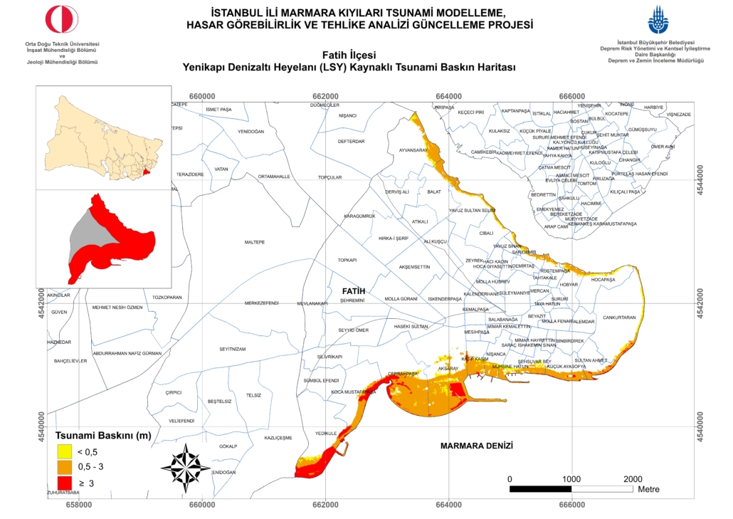
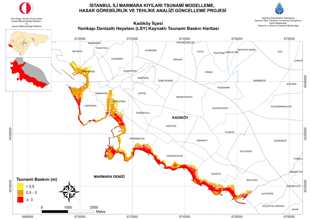
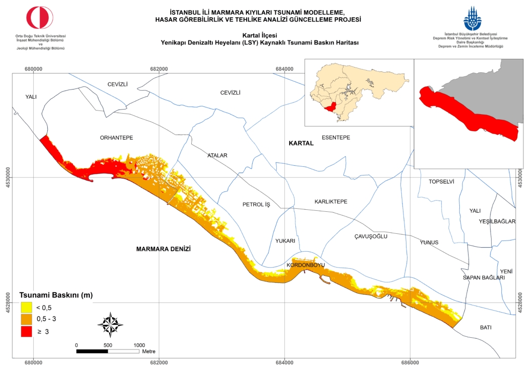
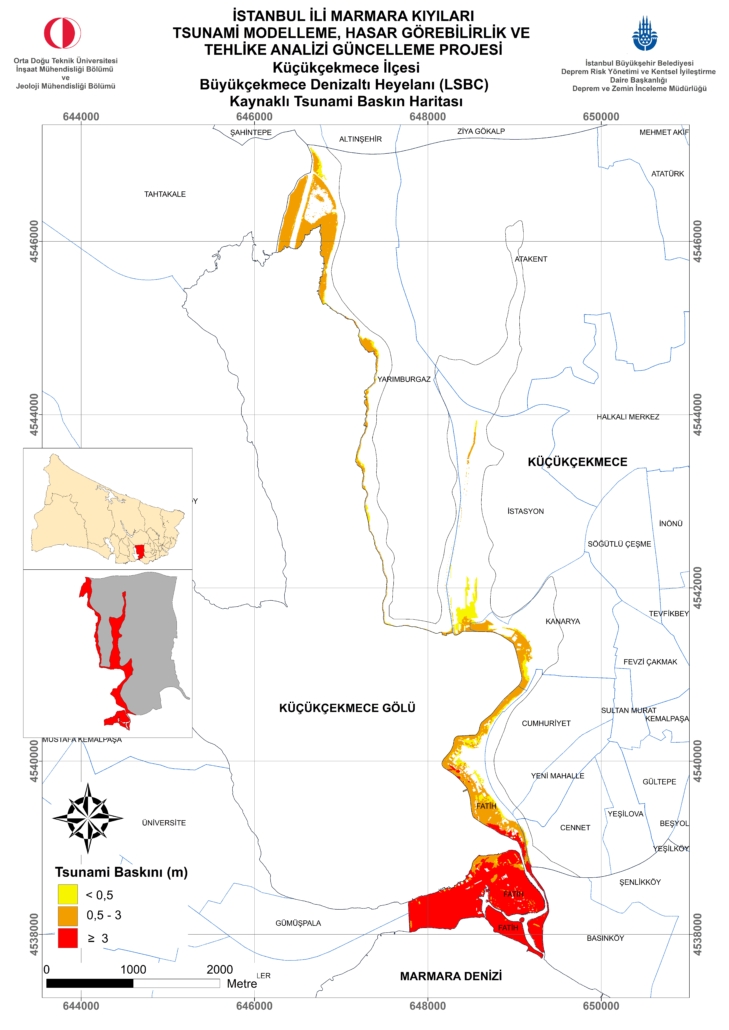
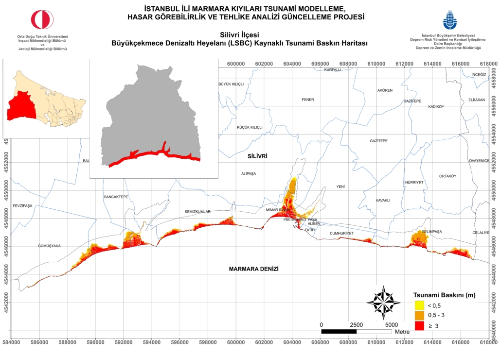
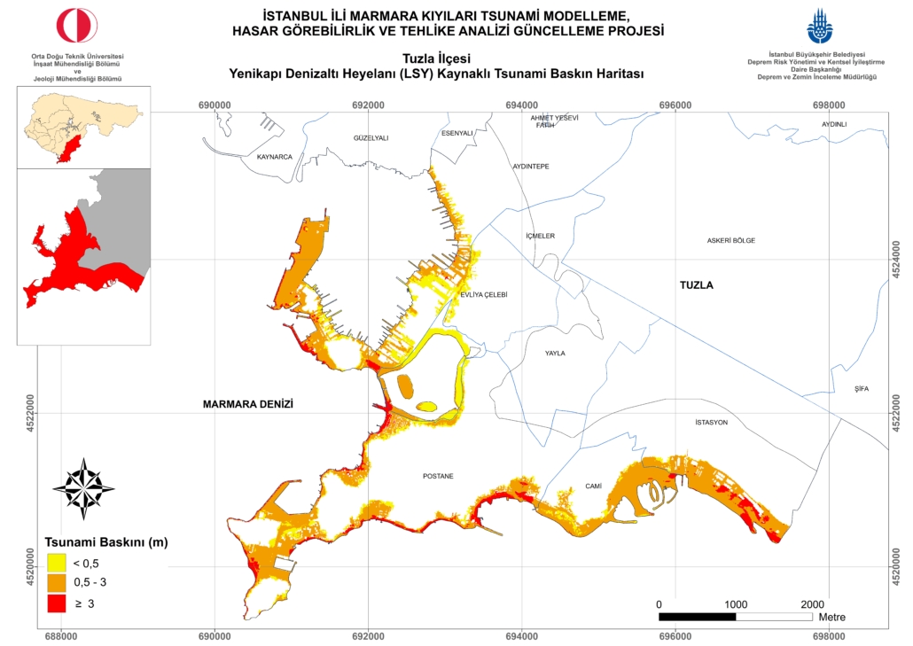
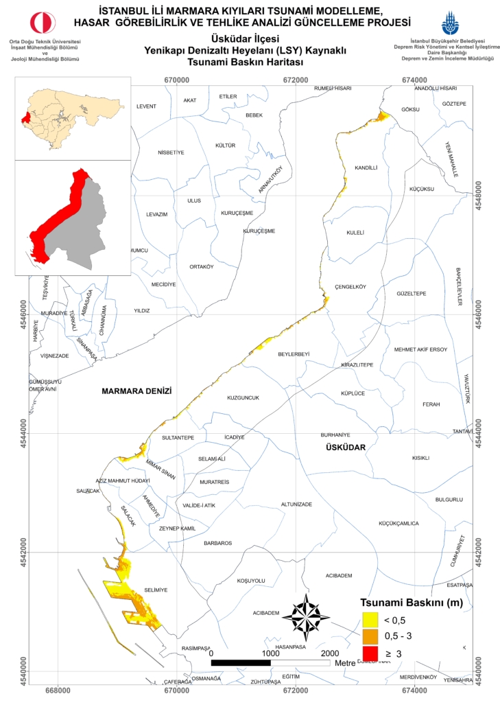
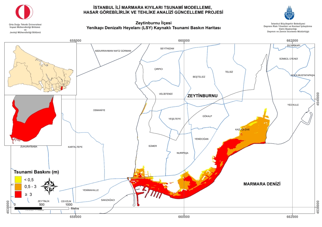
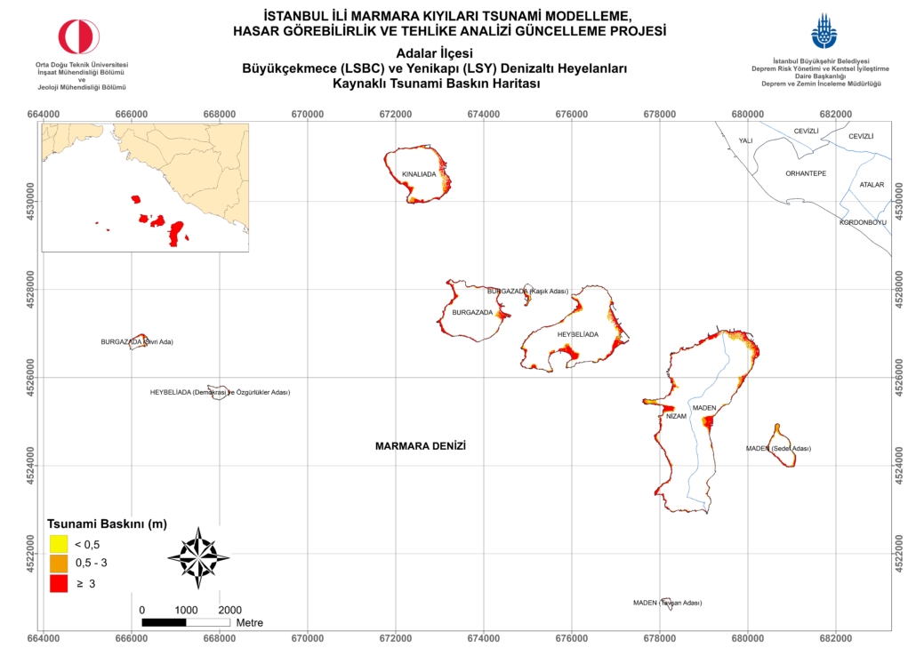
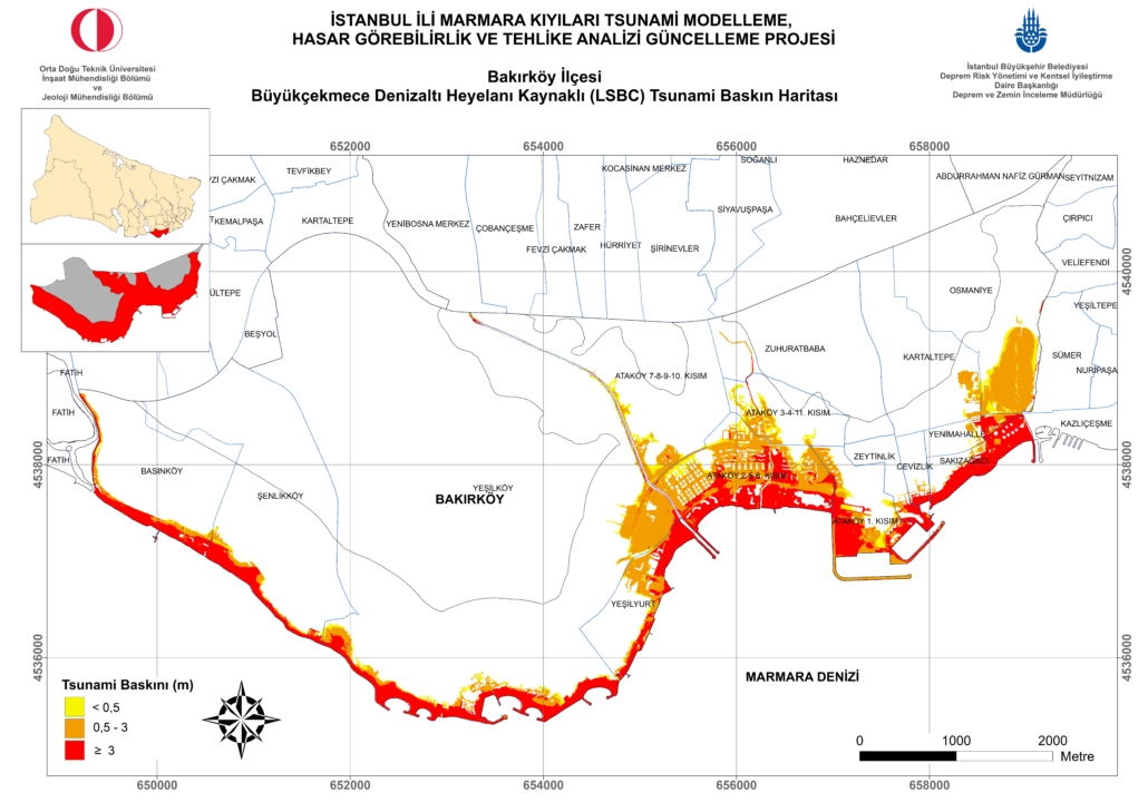
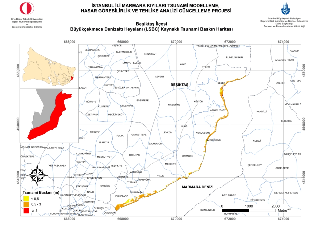
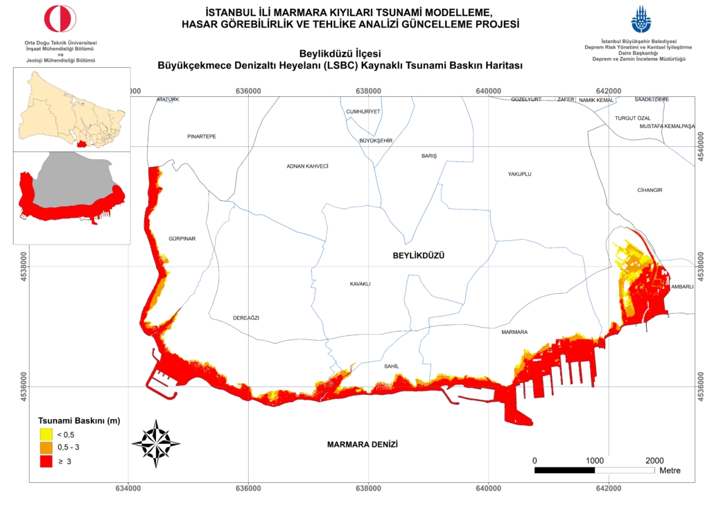
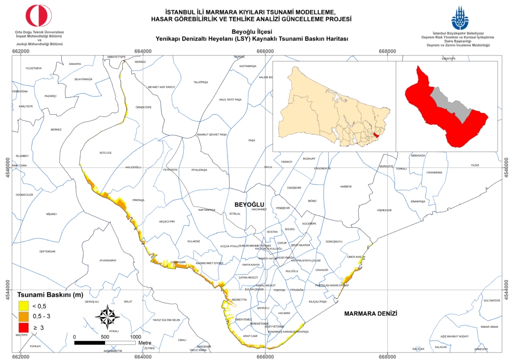
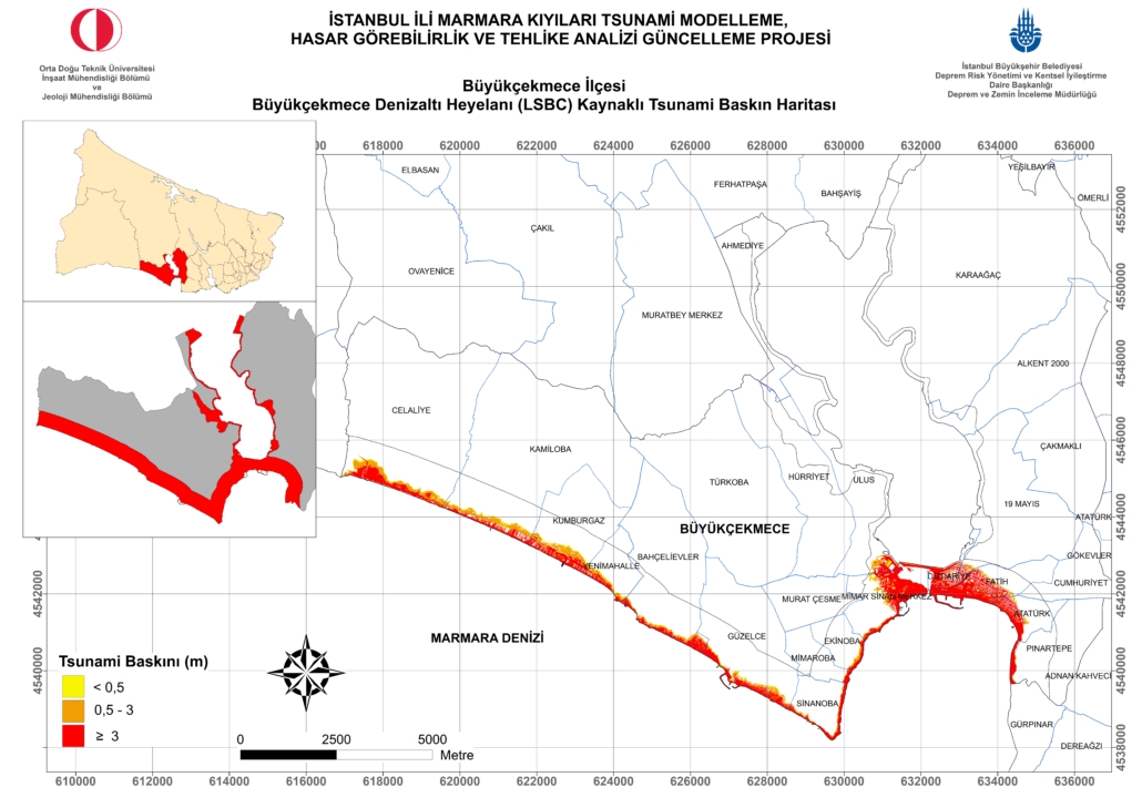
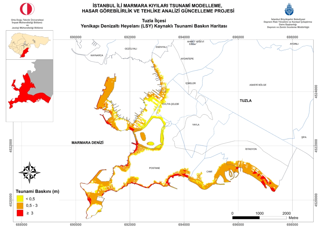
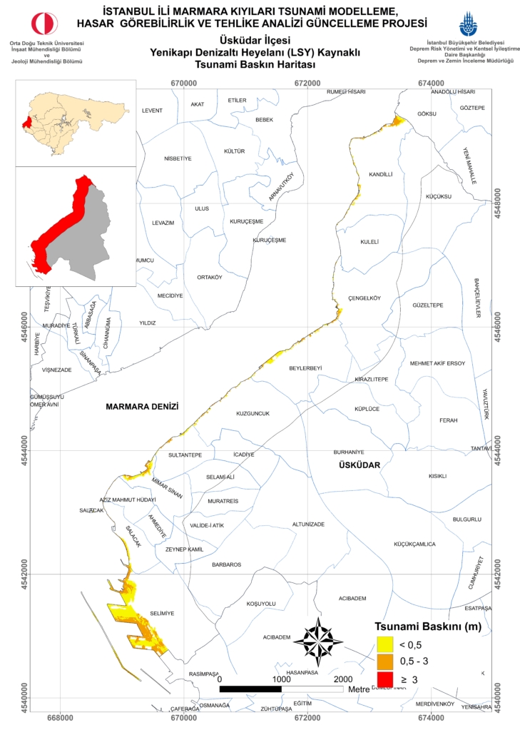
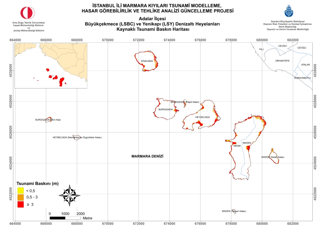
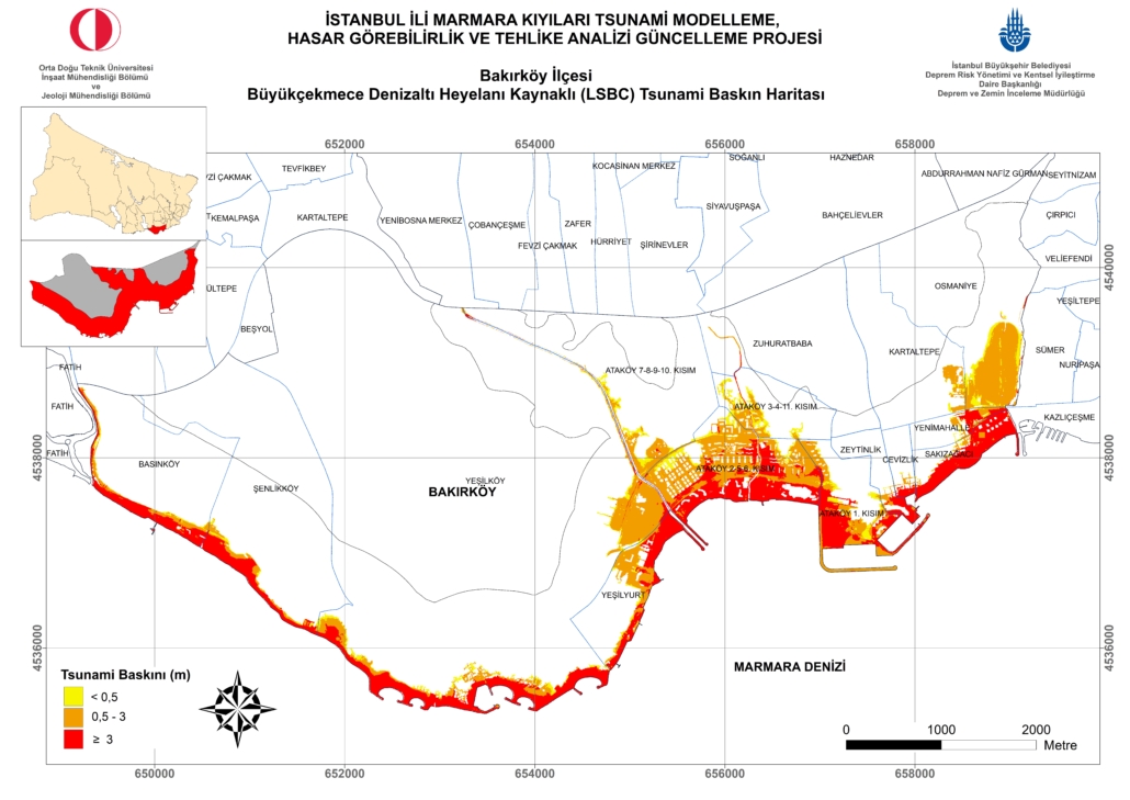
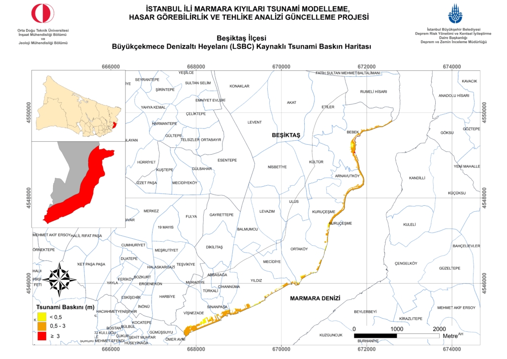
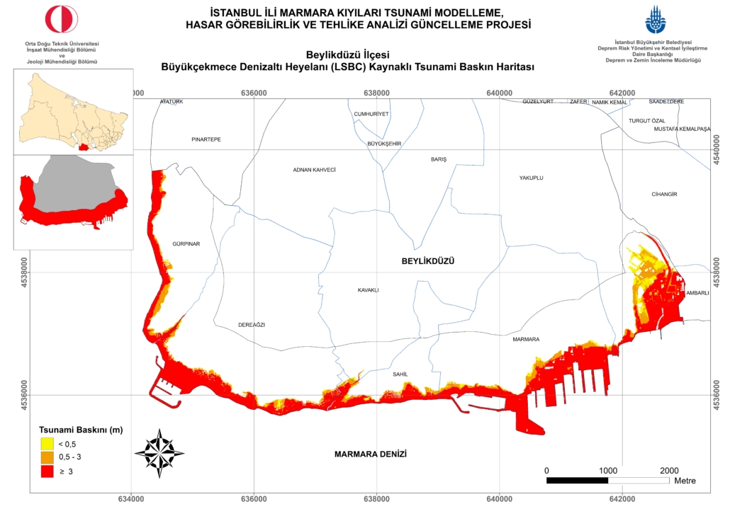
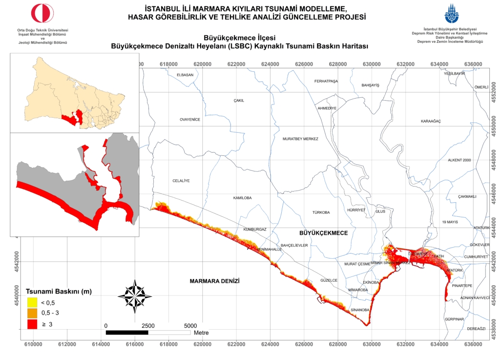
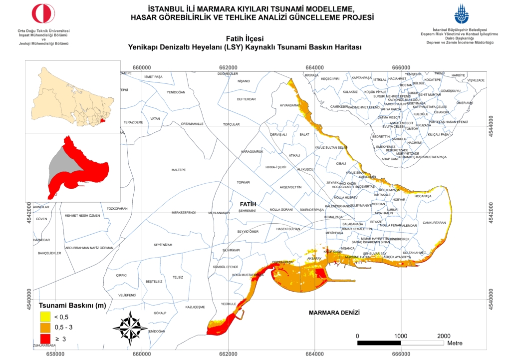
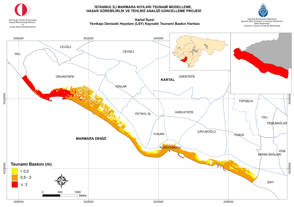
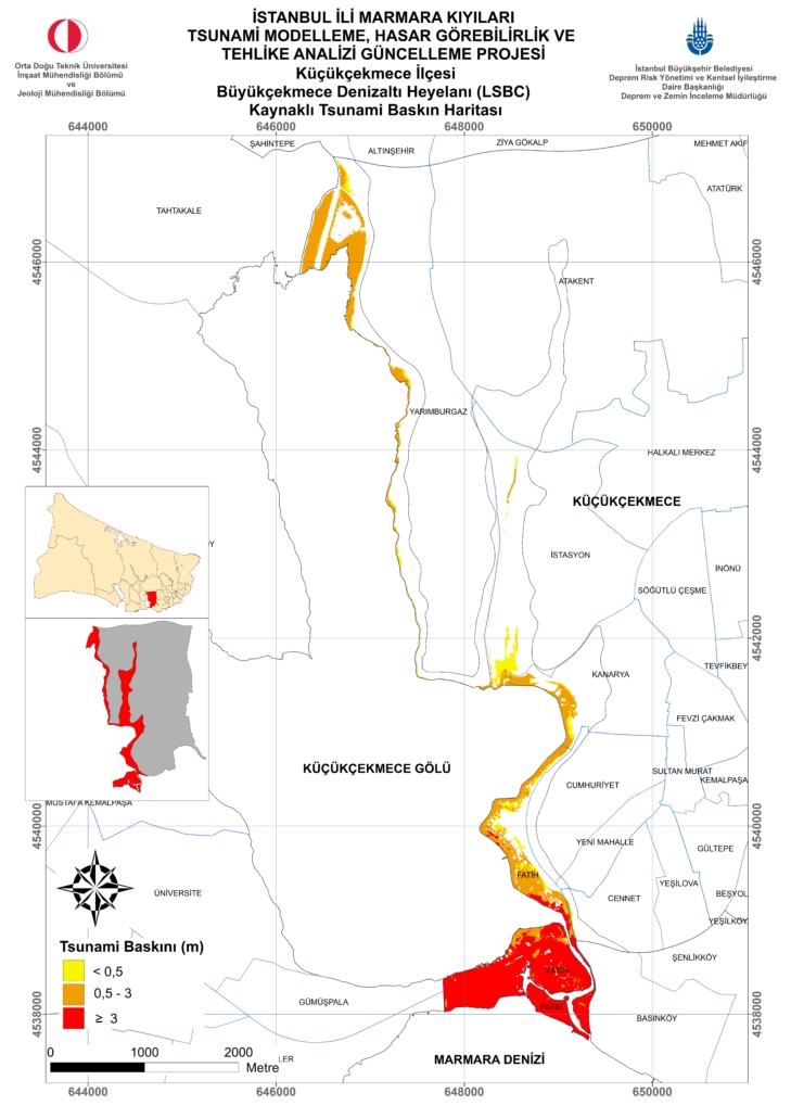
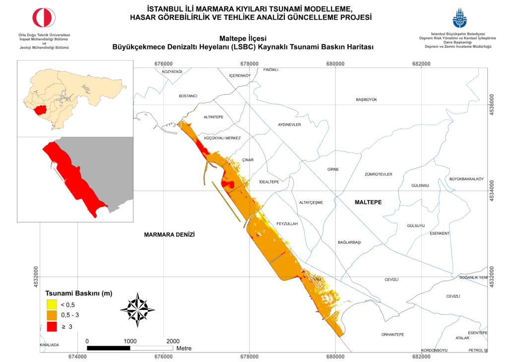
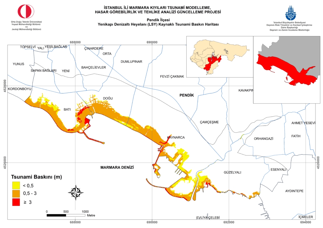
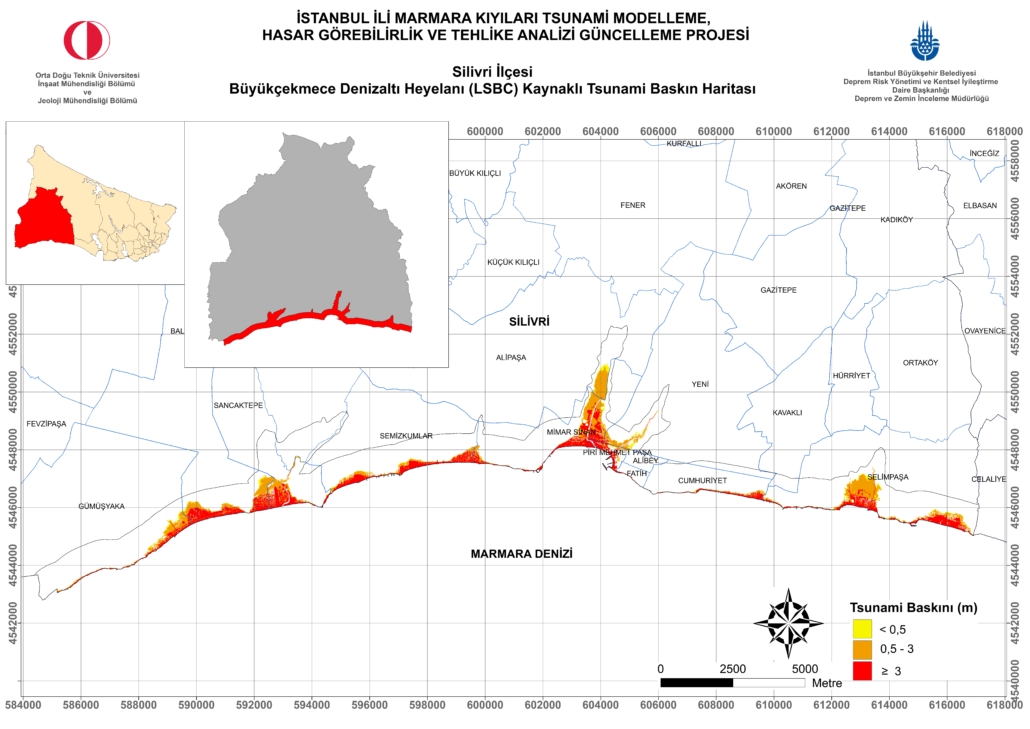
In line with the scientific and technological developments both in our country and worldwide, the “Tsunami Resilient Istanbul” approach has been developed and a three-stage process has been defined by the IMM Directorate of Earthquake and Soil Investigation in order to increase urban resilience in the face of a tsunami that may affect Istanbul. Accordingly, it was decided to re-analyze and evaluate the risk and risk components originating from the tsunami, so that the “Istanbul Marmara Coasts Tsunami Modeling, Vulnerability and Hazard Analysis Update Project” (METU, 2018) was carried out. The resolution level used within the scope of the project is the first among tsunami modeling, vulnerability and hazard analysis projects for mega-cities in the world, and district and neighborhood-based tsunami inundation maps have been prepared according to each critical scenario. According to the results, it is seen that there will be a variable but significant tsunami effect in all districts that have a direct coast to the Marmara Sea.
Following the “Istanbul Marmara Coasts Tsunami Modeling, Vulnerability and Hazard Analysis Update Project” (METU, 2018), depending on the outputs of this project, the “Istanbul Tsunami Action Plan” project (METU, 2019) was completed as the second stage of the “Tsunami Resilient Istanbul” approach which aims to minimize the losses to be caused by a possible tsunami event that may be effective throughout Istanbul, prevent the important critical structures on the Marmara coasts from being affected by the tsunami by identifying and detailing necessary stages and determining the measures to be taken to minimize the impact, and to inform the relevant institutions and organizations about disaster preparedness.
After these two projects, as the third stage, it is aimed to implement the actions and strategies aimed at reducing the foreseen risk. The achievement of this stage, which requires a longer-term and comprehensive planning compared to the first two stages, depends on its proper ownership by district municipalities, district governorships, other relevant institutions-organizations, NGOs and local people, which are among the most important stakeholders of the issue. In this context, special reports have been produced for each district that will be exposed to the tsunami effect in order to correctly understand risks revealed by the analyzes and to understand the importance of the efforts to reduce the risks and ensure that they are embraced by all stakeholders. In this way, it is aimed for decision-makers and implementing units to focus more easily on the risks in their areas of responsibility and the necessary measures to reduce possible risks, and to develop the way for the development of location-specific solutions.
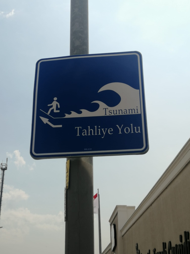
District Booklets and Evacuation Maps can be accessed from the links below.
ADALAR DISTRICT
AVCILAR DISTRICT
BAKIRKÖY DISTRICT
BEŞİKTAŞ DISTRICT
BEYLİKDÜZÜ DISTRICT
BEYOĞLU DISTRICT
BÜYÜKÇEKMECE DISTRICT
FATİH DISTRICT
KADIKÖY DISTRICT
KARTAL DISTRICT
KÜÇÜKÇEKMECE DISTRICT
MALTEPE DISTRICT
PENDİK DISTRICT
SİLİVRİ DISTRICT
TUZLA DISTRICT
ÜSKÜDAR DISTRICT
ZEYTİNBURNU DISTRICT
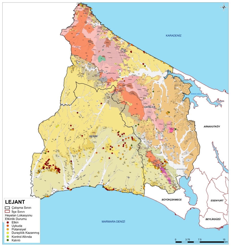
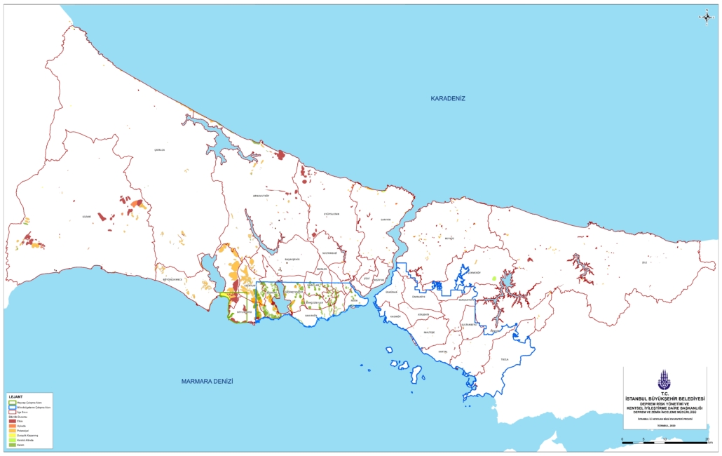
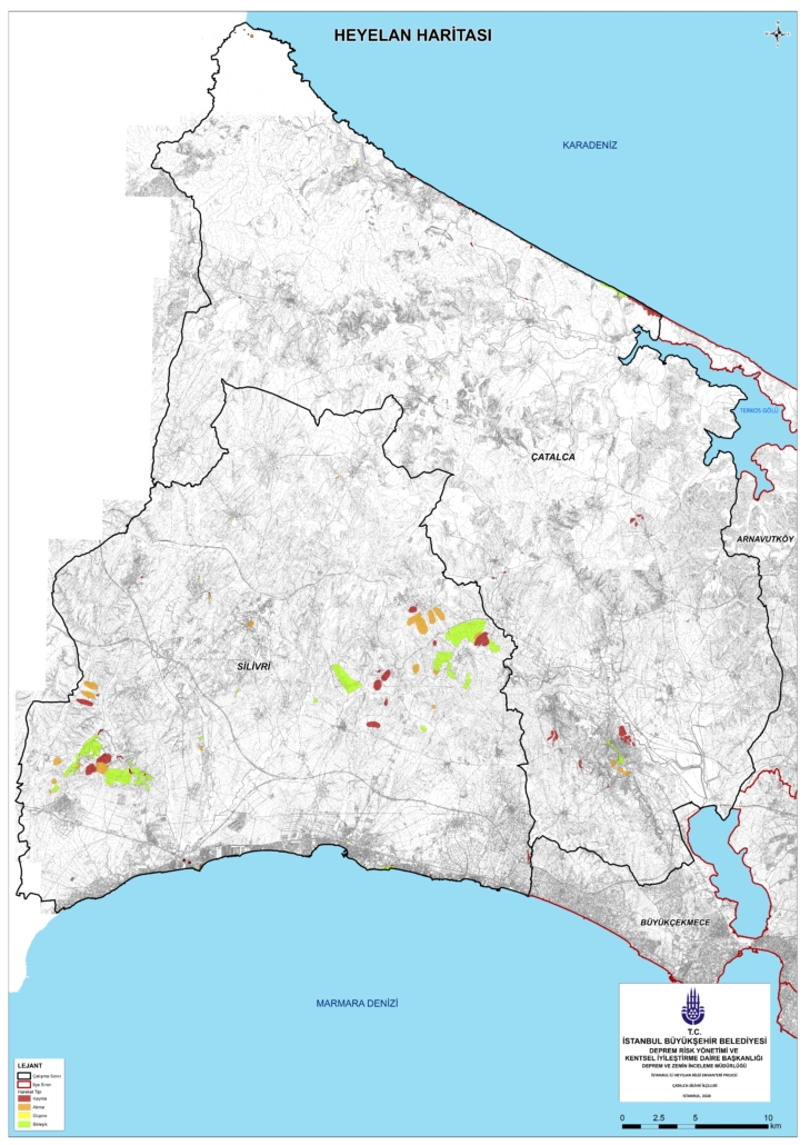
In order to raise awareness for the stakeholders especially local governments about the existence of landslides based on data and the ways to be followed after landslides event, “Landslide Awareness Booklets” in 14 regions have been prepared based on the spatial distribution of the landslides in 39 districts, the administrative boundaries of the districts with each other, and their geological structure according to using the data of Istanbul Landslide Inventroy Based on Distircts Information Booklets (IMM,2020) as a basis for some of the projects designed within the scope of the “Earthquake Mobilization Plan” being brought into force by our directorate;
In line with the results of the Landslide Information Inventory Project, it is aimed to create durable spatial planning and urbanization-oriented disaster action plans by evaluating together with additional terrestrial data (geophysics, geodesy, etc.) and carrying out multifaceted landslide hazard and sensitivity studies in the Istanbul Provincial Area.
Our Landslide Awareness Booklets can be accessed from the links below.
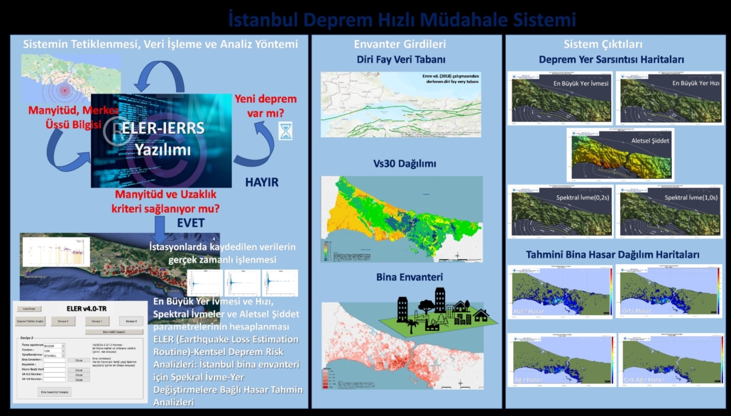
With this study, carried out between the IMM Earthquake and Soil Investigation Directorate and Boğaziçi University Kandilli Observatory, Earthquake Research Institute, Earthquake Engineering Department, the general characteristics of the Istanbul Earthquake Emergency Response and Early Warning System were described and its algorithm was schematized.
The comparison of the system with the urban earthquake monitoring systems in Turkey and other countries has been made by taking into account the technological, administrative and legal components.
Analyzing the current needs in critical urban infrastructure services (water, electricity, gas, transportation, etc.) that the use of the system will benefit from, defining the necessary standards, and in this context, ensuring that the Istanbul Earthquake Emergency Response and Early Warning System meets these needs or the compatibility of the existing urban infrastructure services with the system. actions have been identified.
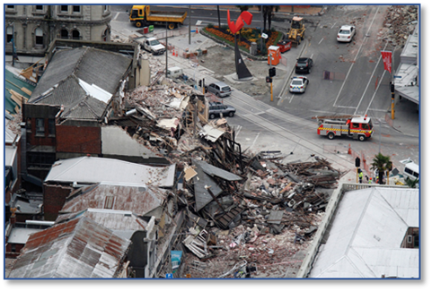
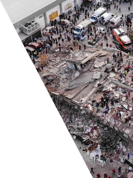
Imm conducted “Earthquake Loss Estimation Project” with Boğaziçi University both 2009 and 2019 and then by using results of 2019 report, some analysis were made to produce district based loss estimation maps and reports. According to these studies it is estimated that there will be 25 million ton debris if the potential Istanbul earthquake with a Mw:7,5 occur.
In order to execute current situation analysis about existing dump site situation and capacity, adequacy of trucks and heavy equipments, recycling of urban transformation waste such as excavation, construction, ruin waste, “Developping The Bases of Potential Debris Management Plan Against The Anticipated Earthquake” was prepared.
By assessing road blockage analysis, machine-equipment inventories, capacity and accesibility of dump sites, the distances between potential dump sites and potential debris areas together highlight that removal and transportation of debris will be a crucial problem for Istanbul after a possible earthquake.
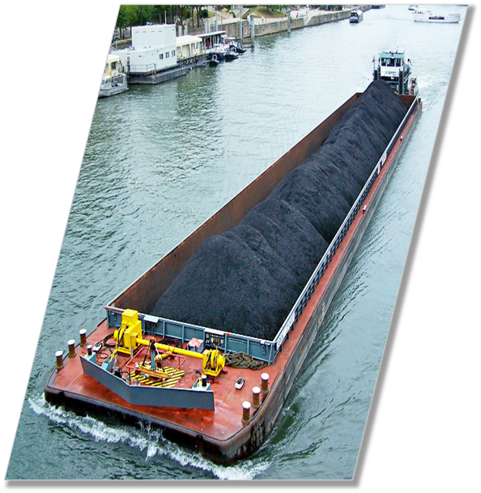
One of the most important problems related to removal and transportation of debris is its size. It is stated that an average of 1 million trips are required to remove 25 million tons of debris and it is foreseen that this process may take up to 3 years with the current possibilities.
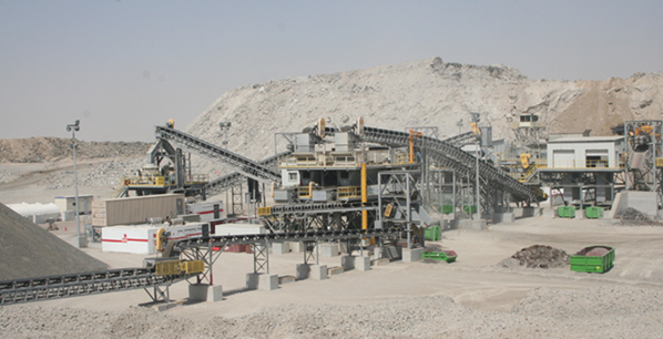
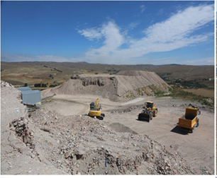
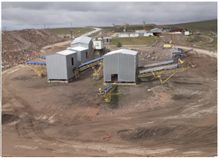
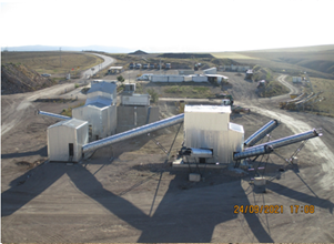
This report also mentions about the necessity of new dump sites if the debris size is not be reduced. Creating dump site may be caused the land losses in the future. Because of this reason dump sites must be operated efficiently. One way operating dump site efficiently is the recycling of construction waste and debris.
Recycle ratio in our country is approximatelly 25% while it is about 80% in developed countries. Recycled materials can be used in different areas. For instance, concrete producing from recycled aggregates can be used manufacturing of park garden wall, road embankment, manholes, one-story houses.
This study highligts the importance of debris action plan against the potential Istanbul earthquake, underlines usage the recycling of construction waste and debris, emphasizes building recycling facilities.
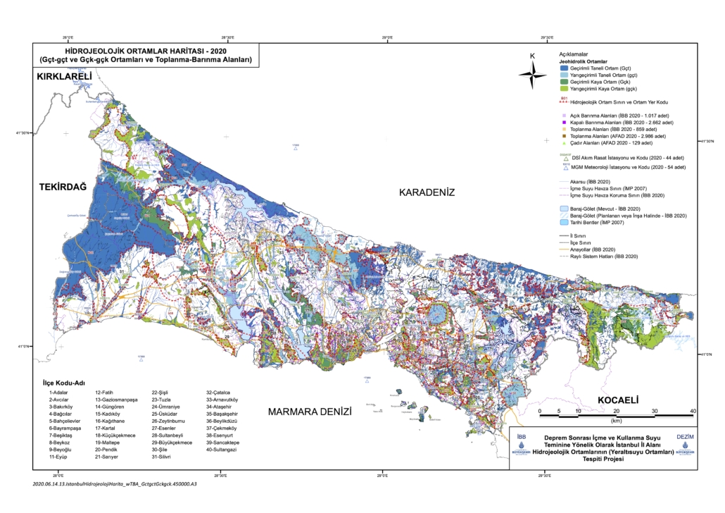
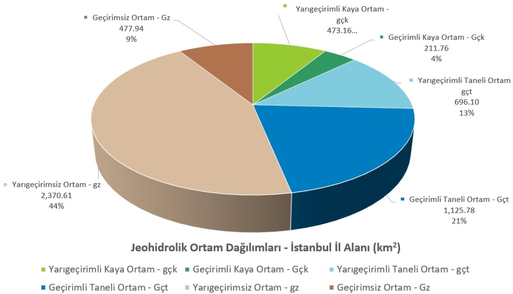
DETECTION OF HYDROGEOLOGICAL ENVIRONMENTS (GROUNDWATER ENVIRONMENTS) IN ISTANBUL PROVINCIAL AREA FOR THE SUPPLY OF DRINKING AND UTILITY WATER AFTER THE EARTHQUAKE AND THEIR RELATIONSHIP WITH THE ASSEMBLY AND SHELTER AREAS
Considering the future population potential and that adverse climate change conditions, all kinds of water necessity of İstanbul will always be the most important issue in the future like today. It is an indisputable fact that these conditions affect the existing water source both in and around the city of Istanbul. an overview of this topic, although groundwater is used at a lower rate compared to surface water, it offers the opportunity to use places where there is no water supply network because it’s quality almost drinking water and does not require any treatment process, as long as it is not polluted. However as a result of unconscious production and use of drinking water, sources are started to run out. Therefore, when it considered as disaster-oriented, Istanbul’s groundwater sources have a great strategic importance in terms of drinking water supply so it requires a much more special view to ground waters.
The use of groundwater, especially in the supply of drinking water that will be needed after an inevitable destructive earthquake, should not be ignored. In order to create a safer future against the negative impact of water availability due to global climate change, it is another necessity to investigate and evaluate of the existence, usability and protection of Istanbul groundwater and to ensure it’s sustainability.

